Jacob’s Well springflow is an important metric to inform groundwater management but maintaining the gauge during severe drought and zero flow is particularly challenging.
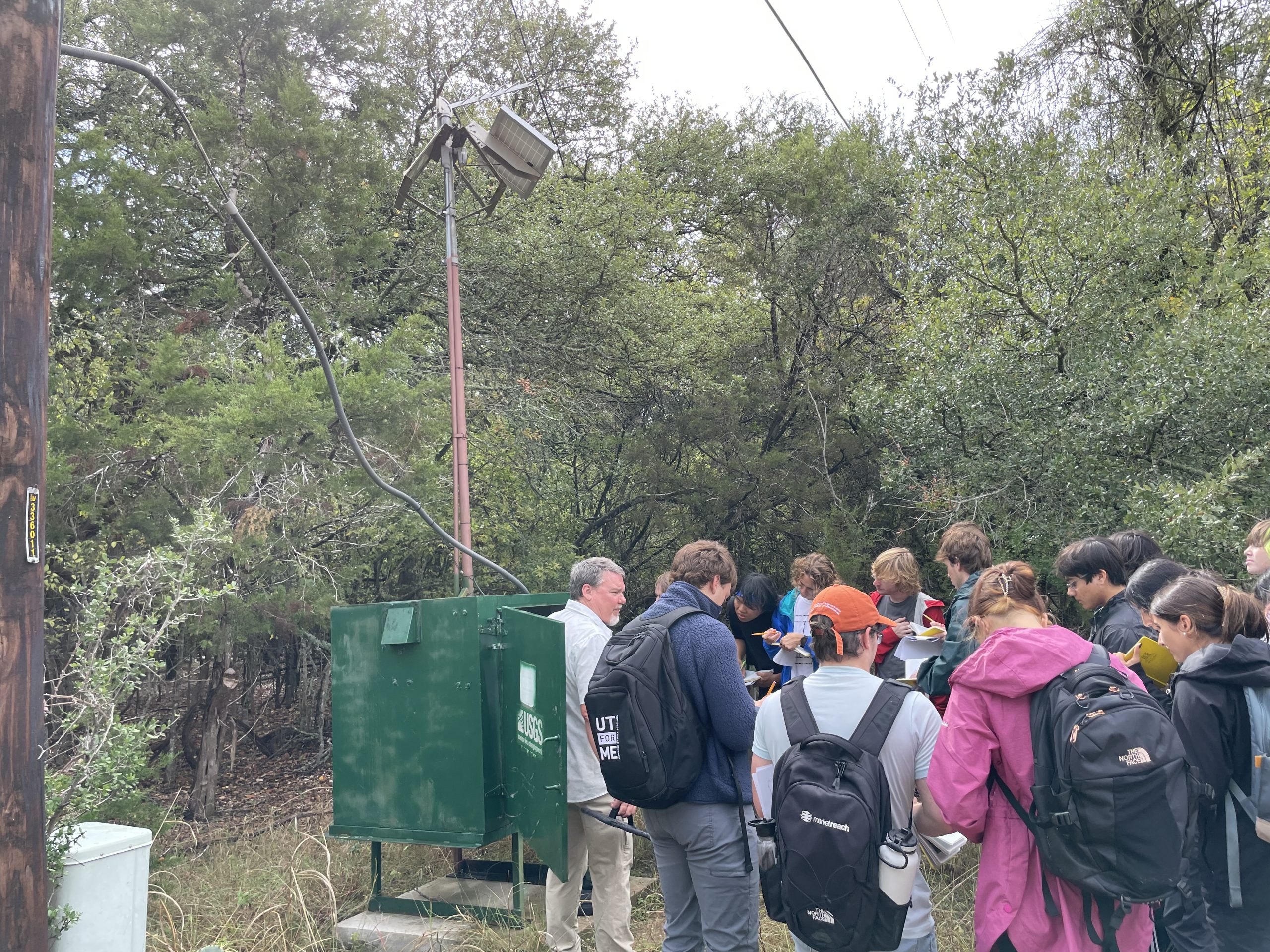
During a recent field trip for the University of Texas Beginning Geology Field Experience class (GEO 401), students explored how the gauging station at Jacob’s Well calculates flow.
The USGS uses a water level (stage) measurement with a discharge rating to calculate a real-time discharge (USGS Stage-Discharge Example). USGS hydrologists make discharge measurements to correlate water levels with varying flow conditions. An airline on the stream bank measures water pressure to determine the water level at the measurement point.
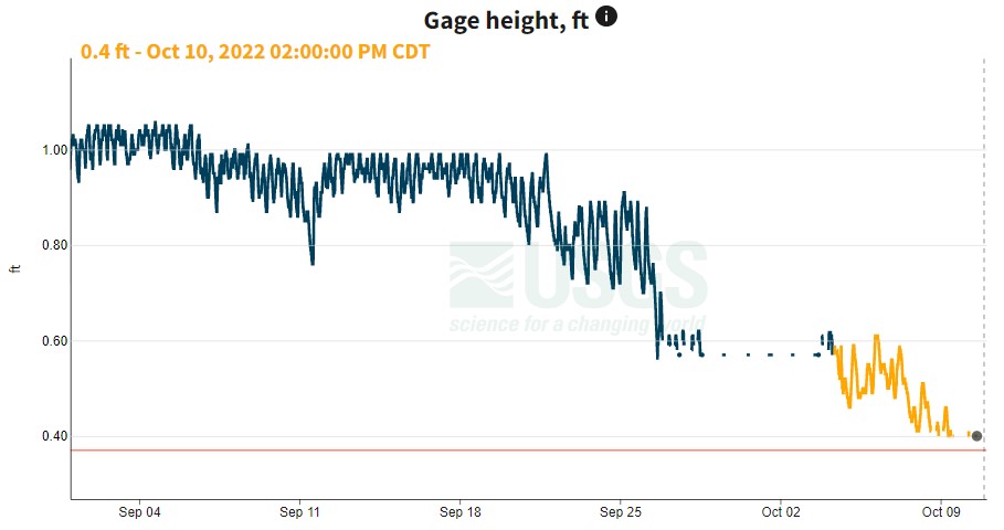
There is zero spring flow at Jacob’s Well when water levels are below 0.83 feet. Instruments had to be lowered after water levels dropped below 0.56 feet on 9/26/22. USGS modified the sampling point on 10/4/22 and are currently able to measure water levels as low as 0.39 feet.
This year’s prolonged drought and groundwater pumping have dropped the water level at Jacob’s Well below the airline where water level is measured. Jacob’s Well flow is an important metric for groundwater management and serves as a drought trigger for the Hays Trinity Groundwater Conservation District. In fact, because of the importance of being able to measure impact to spring flows, the Hays Trinity GCD recently changed their rules to avoid aquifer tests and well drilling during Stage 3 and 4 Drought declarations, which would be when flow measurements are most challenging.